Five corners of the map worth knowing, from heritage sites to dog parks
Most visitors land on the map, wander their own suburb for a while, and leave. Fair enough — that is the headline act. But the same data powers a set of smaller pages that answer more specific questions, and some of them are easy to miss. Here are five worth knowing about.
Free tools for business owners
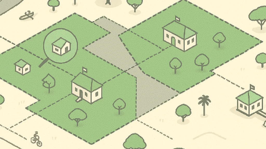
If you run a business on the coast, odds are it is already on the map — drawn inside the building it actually occupies. Claiming it is free: we verify you either through the email address the business already publishes, or by a badge or meta tag placed on your own website, so nobody can claim a business they don't control. Once verified you can fix opening hours, add photos and keep the profile current. Edits go live after a quick human review.
Alongside claiming there is a set of free tools that work without any signup: an embeddable “find us” map for your website, a “getting here” block with transport and parking around your address, social images, QR codes and a flood check against the council's flood hazard overlay.
The heritage layer
Eleven places inside the band this map draws are entered in the Queensland Heritage Register, and every one of them is on the heritage page — the Southport Bathing Pavilion and Town Hall, Kinkabool at Surfers Paradise (the coast's first high-rise, and ten storeys), Currumbin Wildlife Sanctuary, the old Tallebudgera post office. Where a register boundary covers a building we have from OpenStreetMap, that building is flagged on the map and its page names the listing. It is a quietly good way to notice how little of the pre-tower coast is left, and exactly where it is.
Airport parking
Gold Coast Airport sits at Bilinga, and the airport parking page lists every car park mapped around it — the terminal car parks along with the cheaper open-air options — with type, capacity and cost where OpenStreetMap contributors have recorded them. Worth knowing before you fly: there is no train to this airport, so it is drive, taxi or bus.
Dog parks
Twenty-seven off-leash dog areas are mapped across the coastal band, and the dog parks page shows each one on the map with what is nearby — public toilets, parks and playgrounds — so you can plan the whole outing, not just the off-leash half of it.
The tallest buildings
Nothing about this skyline is modest. Q1 at Surfers Paradise reaches 323 metres over 78 levels, and the rest of the strip stacks up behind it. The tallest buildings page ranks the top forty by storey count, and the interesting part is how many of them have no name in OpenStreetMap at all — a 77-storey tower listed as “Building #31106”. Every height comes from OpenStreetMap, so the ranking is only as complete as the mapping, and on this coast the mapping has some catching up to do.
Where to next
- Browse every suburb and industry, or jump straight to what's on.
- Check your school catchment or the flood overlay for an address you care about.
- Spotted something wrong? The fix belongs in OpenStreetMap — edit it there and the map here follows.